
Country Canada Census division 7 Time zone CST Area 124.8 km² Province Saskatchewan Area code 306 | Region Southwest Rural Municipality Maple Bush Highways Highway 42 Population 114 (2011) Local time Sunday 6:22 PM | |
 | ||
Weather 4°C, Wind W at 27 km/h, 42% Humidity | ||
Riverhurst is a village in Maple Bush Rural Municipality No. 224, Saskatchewan, Canada. It is located in the south-west Coteau Hills area of Saskatchewan, north of the Vermillion Hills. The community is located on Highway 42 east of Riverhurst Ferry. The village is primarily a farming community, with a 2011 population of 114 residents.
Contents
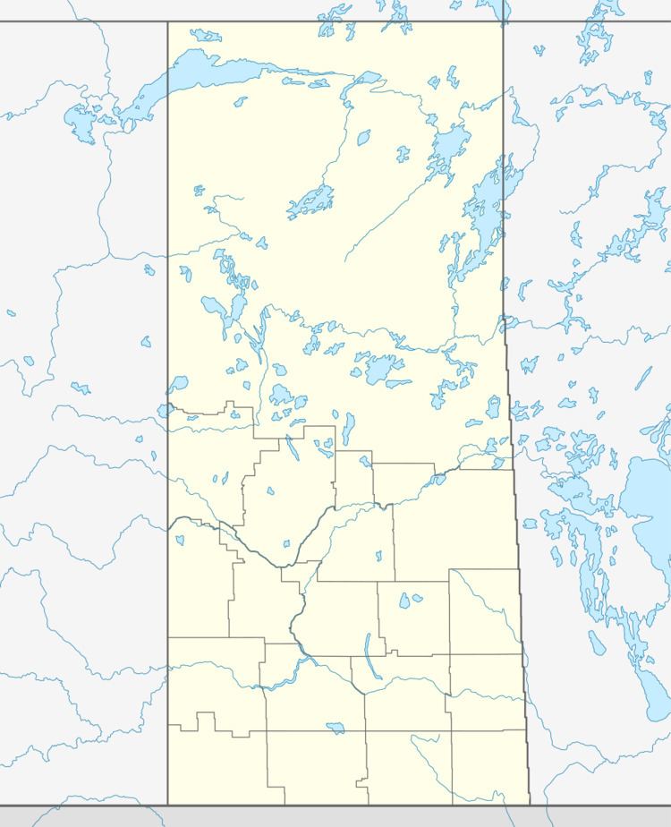
Map of Riverhurst, SK, Canada
Infrastructure
Riverhurst is situated close to the east bank of Lake Diefenbaker, and is the location of the Riverhurst Ferry, a cable ferry that crosses the lake to Lucky Lake on the west bank. Highway 42 (which provides access to the community) crosses Lake Diefenbaker by the Riverhurst Ferry. The village is located 8 km south of the Elbow crater.
Notable Residents
Royal Canadian Mounted Police Constable Thomas Brian King (who was shot to death in Saskatoon) lived in Riverhurst.