
- left Bearley Brook Length 24 km Country United Kingdom | - right Trent Brook Bridges Pill Bridge | |
 | ||
River yeo south somerset
The River Yeo, also known as the River Ivel, is a tributary of the River Parrett in north Dorset and south Somerset, England.
Contents
Map of River Yeo, United Kingdom
The river's names derive from the Celtic river-name gifl 'forked river'. The name Yeo appears to have been influenced by Old English ēa 'river'.
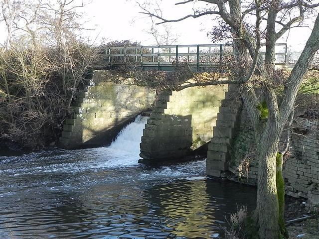
The river rises in Dorset, in the North Dorset Downs. It flows through Sherborne, and the Somerset towns of Yeovil, Yeovilton and Ilchester, to which it gives its name, and joins the River Parrett near Langport. For a few miles east of Yeovil, it forms the county boundary between Somerset and Dorset.
The river is navigable for light craft for 8 miles (13 km) from the Parrett to Ilchester.
The Yeo's tributaries include the River Gascoigne, which rises near Milborne Wick and joins the Yeo near Sherborne, the River Wriggle, Trent Brook, Hornsey Brook, the River Cam and Bearley Brook.