
- elevation 114 m (374 ft) | - elevation 44 m (144 ft) | |
 | ||
- location | ||
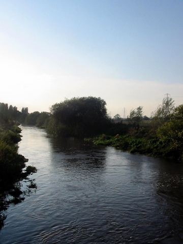
The River Tern (also historically known as the Tearne) is a river in Shropshire, England. It rises north-east of Market Drayton in the north of the county. The source of the Tern is considered to be the lake in the grounds of Maer Hall, Staffordshire. From here it flows for about 30 miles (48 km), being fed by the River Meese and the River Roden, until it joins the River Severn near Attingham Park, Atcham.
At Longdon-on-Tern, the Tern is spanned by the world's first large-scale cast iron navigable aqueduct, designed by Thomas Telford to carry the Shrewsbury Canal. The 62-yard (57 m) long structure still stands today, but is marooned in the middle of a field.
References
River Tern Wikipedia(Text) CC BY-SA