
Interest Geological Notification 1994 | Grid reference TL738157 Area 6.4 hectares Location map Magic Map | |
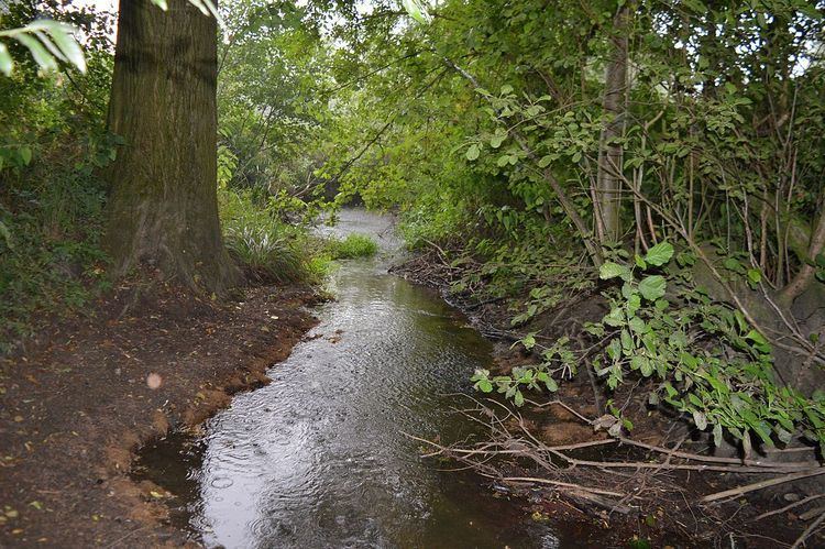 | ||
The River Ter SSSI is a stretch of the River Ter and its banks south of Great Leighs in Essex which has been designated a geological Site of Special Scientific Interest. It is a Geological Conservation Review site.
According to the Natural England citation:
This reach of the River Ter is representative of a lowland stream with a distinctive floor regime. It is flashy, draining a low-lying catchment on glacial till, and has a very low base flow discharge but high flood peaks; daily, monthly and annual flow variability are also high. In addition the site demonstrates characteristic features of a lowland stream including pool-riffle sequences, bank erosion, bedload transport and dimensional adjustments to flooding frequency.Most of the river is inaccessible as it is surrounded by dense vegetation, but a footpath runs through an area of the north bank, east of the road called Cole Hill, which is within the SSSI.
References
River Ter SSSI Wikipedia(Text) CC BY-SA