
Country United States FIPS code 20-60000 Elevation 426 m Local time Thursday 1:17 PM Area code 620 | State Kansas Time zone CST (UTC-06:00) GNIS feature ID 477227 Area 93.2 km² Population 207 (2010) | |
 | ||
Weather 6°C, Wind NW at 29 km/h, 96% Humidity | ||
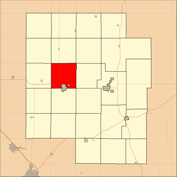
Risley Township is a township in Marion County, Kansas, United States. As of the 2010 census, the township population was 207, not including the city of Hillsboro.
Contents
Map of Risley, KS 67063, USA
Geography
Risley Township covers an area of 36 square miles (93.2 km2).
Cities and towns
The township contains the following settlements:
Cemeteries
The township contains the following cemeteries:
Transportation
U.S. Route 56 and K-15 pass through the township.
References
Risley Township, Marion County, Kansas Wikipedia(Text) CC BY-SA