
Length 145 km Basin area 2,310 km² | River mouth Seine Basin size 2,310 km (890 sq mi) Discharge 14 m³/s | |
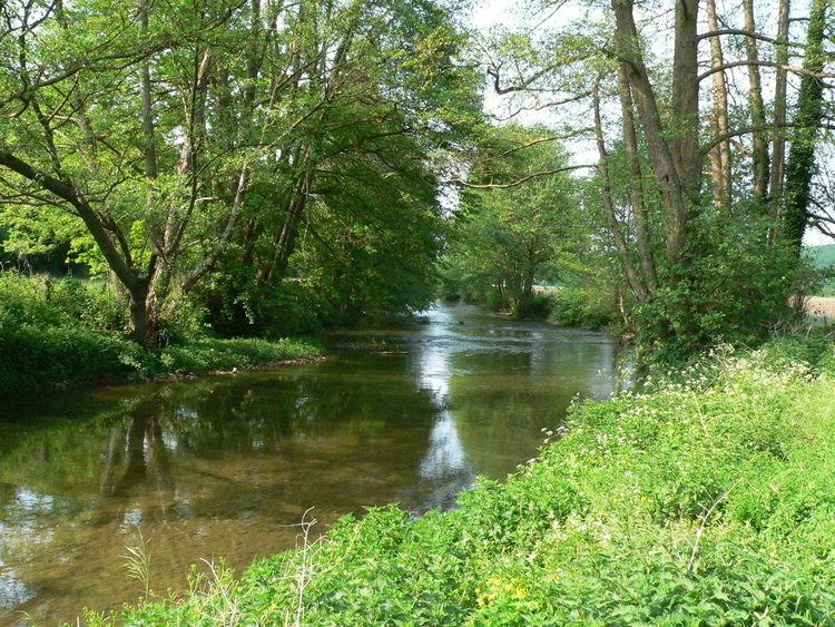 | ||
The Risle (less common: Rille) is a 144 km (89 mi) long river in Normandy, left tributary of the Seine.
Map of La Risle, France
The river begins in the Orne department west of L'Aigle, crosses the western part of the department of Eure flowing from south to north and out into the estuary of the Seine on the left bank near Berville-sur-Mer. Its upper valley is part of the Pays d'Ouche, its lower valley separates the regions of the Lieuvin and Roumois.
The Risle is regarded as a coastal river. Fishing is common downstream at Pont-Audemer.
On July 30, 2012 the Risle vanished in a ponor between La Ferrière-sur-Risle and La Houssaye. It runs underground for 8 kilometres.
Its only major tributary is the Charentonne. The Risle flows through the following departments and communes: