
Designated as world heritage site 1972 | Area 1 ha | |
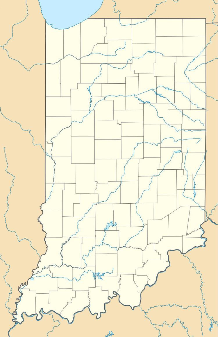 | ||
Nearest city Orangeville, Orange County, Indiana | ||
Orangeville Rise is the second largest spring in the U.S. state of Indiana, in Orange County near Orangeville. It was designated a National Natural Landmark in June 1972. It is owned and managed by The Nature Conservancy and the Indiana Karst Conservancy.
Geology
Contrary to popular belief, the spring is not a rise of the Lost River which actually surfaces approximately 2 miles (3.2 km) south of Orangeville. Water emerging at Orangeville Rise comes from approximately 48 square miles (120 km2) of the highly karstified Mitchell Plain to the northeast. The spring fluctuates wildly in response to drought and rain events, with storm discharge appearing less than 24 hours following an event.
References
Rise at Orangeville Wikipedia(Text) CC BY-SA