
Length 27 km Country United States of America | ||
 | ||
Bridges Main Street Bridge, Turn-of-River Bridge | ||
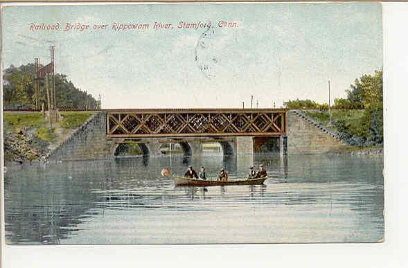
The Rippowam River is a river in Fairfield County, Connecticut, United States. It drains a watershed area of 37.5 square miles (97 km2) and flows for 17 miles (27 km) from Ridgefield to Long Island Sound, which it enters in Stamford's harbor.
Map of Rippowam River, Stamford, CT, USA
Streamflow in the Rippowam River is controlled by several small dams. The Turn-of-River Bridge, which is listed on the National Register of Historic Places, crosses it. The river has been dammed to form both the North Stamford Reservoir in North Stamford, and the Laurel Reservoir on the Stamford/New Canaan border.
The lower eight miles of Rippowam River, from the North Stamford Reservoir to Stamford Harbor, are known as "Mill River".
Architect Philip Johnson built his Glass House on the eastern slope of the Rippowam River valley in New Canaan in the late 1940s to take advantage of the view of the valley formed by the river.