
OS grid reference SE963319 Sovereign state United Kingdom Postcode district HU20HU15 | Post town COTTINGHAMBROUGH Local time Thursday 5:01 PM | |
 | ||
Weather 17°C, Wind SW at 27 km/h, 63% Humidity Civil parishes | ||
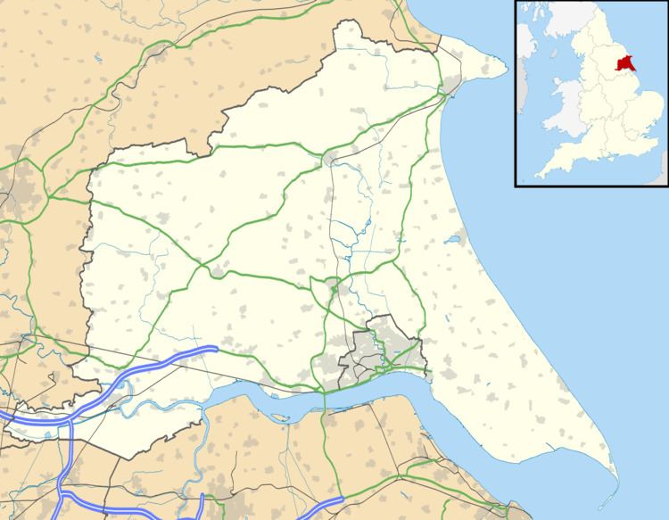
Riplingham is a little hamlet in the East Riding of Yorkshire, England. It is situated approximately 7 miles (11 km) south-west of Beverley and 3 miles (4.8 km) east of South Cave.
Map of Riplingham, Brough, UK
It is situated on the crossroads that link (broadly speaking), South Cave, Welton, North Newbald and Raywell.
Riplingham is part in the civil parish of Rowley and part in the civil parish of South Cave.
It has no shops, but does have a good view of Hull, and the surrounding area, including the River Humber and its south bank.
It is also the site of a medieval village.
In 1955 a Ham class minesweeper HMS Riplingham was named after the village.
References
Riplingham Wikipedia(Text) CC BY-SA