
Country Canada Regional district Central Kootenay Time zone PST (UTC-8) Area 70 ha Population 273 (2011) Province British Columbia | Region Kootenays Founded 1907 Postal code span V0B Elevation 576 m Local time Thursday 8:09 AM Waterway Kootenay Lake | |
 | ||
Weather 5°C, Wind W at 5 km/h, 94% Humidity | ||
Riondel is a village of approximately 300 people. It is situated on the eastern shore of Kootenay Lake, located 90 minutes from Nelson, British Columbia, using the world's longest free ferry ride.
Contents
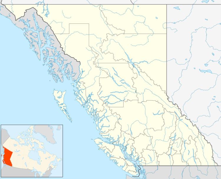
- Map of Riondel BC Canada
- History
- 1890s
- Pronunciation
- Bluebell mine
- 1950 1972
- 1972 Present
- Riondel Daze
- Location
- Hiking
- Golf
- Fishing
- Recreation
- Camping
- References
Map of Riondel, BC, Canada
History
The settlement of Riondel originated from a very productive silver, lead and zinc mine, known as the Bluebell mine. In 1882 an American named Robert Sproule staked four claims along the Riondel Peninsula, including the Bluebell mine. When he left to register his claims an Englishman, Thomas Hammill, re-staked the claims. This led to a dispute that ended with Sproule shooting Hammill dead. Sproule was executed in the gallows for his crime.
1890s
In the 1890s the settlement was known as Hendryx, after Wilbur Hendryx, who had control of the Bluebell mine and other claims in the mid-1880s. In 1905 The Canadian Metal Company purchased the mine, and in 1907 the settlement was named Riondel after Count Edouard Riondel, the president of the Canadian Metal Company.
Pronunciation
Riondel is pronounced several different ways, even by locals: RYE-on-del and ree-ON-del are commonly heard. However, S.S. Fowler, who applied for the post office in 1907, wrote: “It is or should be pronounced Ree-on-del with accent very slightly on the first syllable.”
Bluebell mine
The Bluebell mine operated from 1895 to 1929, during which the population of Riondel was stable at around 70 people. With the closure of the Bluebell mine in 1929 the population dwindled until in 1943 there were only 22 people left in Riondel. In 1950 the Bluebell mine re-opened, and the population of Riondel soared to almost 300 people within three years. The expansion of the Bluebell mine required more electricity and in 1952 Cominco built power lines across the Kootenay Lake, to bring power to the East Shore without the use of generators. Development included a smelter and a townsite. This mine has the longest history in the province of British Columbia.
1950-1972
From 1950, Riondel was a bustling, thriving mining town until 1972, when the Bluebell mine closed for good. Most people moved on to other nearby towns, while the older employees stayed in Riondel and retired. Riondel became a popular retirement community and at one time had more seniors per capita than any other postal code in Canada.
1972-Present
Today Riondel is a tidy village with streets, a lakeside campground, beach, community centre, playground, cable TV system, 9-hole golf course, grocery and liquor store, cafe, and pub. In April, 2006 Riondel was connected with dial-up internet provided by Telus.
Riondel Daze
During the weekend of the Civic Holiday, Riondel hosts an annual celebration called Riondel Daze. This event is usually attended by the Historical Society of Riondel's vintage ambulance, a 1949 Mercury. The event features a ball tournament with a hot dog stand and local music and stand-still parade.
Location
Riondel is located on Riondel Road on the eastern shore of Kootenay Lake, 6 miles (10 km) north of Kootenay Bay, the eastern terminal of the Kootenay Lake ferry. Riondel is a 1-hour drive from Creston, British Columbia, and a 90-minute drive from Nelson, British Columbia, using the world's longest free ferry ride.
Hiking
The Waterfront Trail in Riondel follows 1.5 km of the lakeshore from the south end of North Bay beach; The Pebble Beach Trail 7 km north of Riondel leads from the Kootenay Lake East FS Road to a south-facing, pebbled beach; The 15-minute Pilot Bay Lighthouse Trail near Kootenay Bay leads to an historic 1907 lighthouse; The one-hour Pilot Bay Marine Park trail leads through varying terrain as it follows the lakeshore; The Plaid Lake Hiking Trail near Crawford Bay is a full day hike to the alpine Plaid Lake on the west side of the Purcell Mountains; The Duck Lakes Dykes Trail near Sirdar offers miles of almost level hiking through some of the richest waterfowl habitat in British Columbia.
Golf
Golfers in Riondel have two golf clubs to choose from; the 9-hole Par 3 course at the friendly Riondel Golf Club, located on Galena Bay Wharf Road just 10 minutes from the Kootenay Lake Ferry, and the 18-hole championship Kokanee Springs Golf Resort in Crawford Bay, a 20-minute drive to the south.
Fishing
Kootenay Lake maintains considerable populations of various fish species, including kokanee, rainbow and cutthroat trout, Dolly Varden, burbot, and whitefish. Kootenay Lake supports record-sized Rainbow Trout, and the world's largest recorded kokanee - almost 10 pounds (4.5 kg) - was taken from Kootenay Lake. 'Kokanee' (Kekeni) means 'red fish' in the Sinixt Interior Salish language and is the name given to the land-locked salmon that spawn in large numbers in Kokanee Creek in the late summer. The best fishing time is in the fall and winter months.
Recreation
Other outdoor opportunities in Riondel include canoeing or kayaking the waters of the 75-mile long and 5-mile wide Kootenay Lake (rentals available), swimming, wildlife and nature viewing, boating and sailing, horsedrawn adventures, and backcountry exploration. The youth of Riondel have a youth group at the Riondel Recreation Centre playing floor hockey on Sundays and many other things such as pool, air hockey, and movies.
There is a playground at Riondel Community Centre which was an old school and now is an auditorium and community centre. The Centre houses the Riondel Art Club, the Riondel Seniors' Society, the Riondel Commission of Management, Riondel Community Library, and the Historical Society.
Camping
The private Riondel Campground is located 1 km from the Riondel General Store, and a second campground and RV park is located 12 km north of Riondel.