
Time zone WAT (UTC+1) Area 452 km² | established 1991 3-digit postal code prefix 822 Local time Thursday 11:53 AM | |
 | ||
Weather 37°C, Wind E at 16 km/h, 6% Humidity | ||
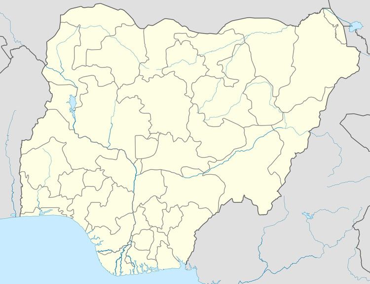
Rimi is a Local Government Area in Katsina State, Nigeria. Its headquarters are in the town of Rimi, near the A9 highway.
Map of Rimi, Nigeria
It has an area of 452 km² and a population of 153,744 at the 2006 census.
The postal code of the area is 822.
References
Rimi, Nigeria Wikipedia(Text) CC BY-SA