
Country United States Time zone CST (UTC-6) Elevation 113 m Local time Thursday 12:06 AM | Established November 5, 1890 ZIP codes 62871, 62954, 62979 Area 92 km² Population 937 (2010) | |
 | ||
Weather 16°C, Wind E at 14 km/h, 80% Humidity | ||
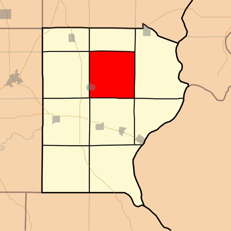
Ridgway Township is one of ten townships in Gallatin County, Illinois, USA. As of the 2010 census, its population was 937 and it contained 470 housing units.
Contents
- Map of Ridgway Township IL USA
- Geography
- Cities towns villages
- Unincorporated towns
- Extinct towns
- Cemeteries
- Airports and landing strips
- School districts
- Political districts
- References
Map of Ridgway Township, IL, USA
Geography
According to the 2010 census, the township has a total area of 35.52 square miles (92.0 km2), of which 35.51 square miles (92.0 km2) (or 99.97%) is land and 0.02 square miles (0.052 km2) (or 0.06%) is water.
Cities, towns, villages
Unincorporated towns
(This list is based on USGS data and may include former settlements.)
Extinct towns
(These towns are listed as "historical" by the USGS.)
Cemeteries
The township contains these ten cemeteries: Asbury, Callicott, Jackson, Jones, Lamb, New Zion, Old Cottonwood, Riley, Saint Joseph Catholic, and Saint Patrick Catholic.
Airports and landing strips
School districts
Political districts
References
Ridgway Township, Gallatin County, Illinois Wikipedia(Text) CC BY-SA