
Quadrant SW Established 1950 Area 160 ha Local time Wednesday 7:40 PM | Ward 8 Annexed 1907 Population 3,892 (2008) | |
 | ||
Weather 8°C, Wind S at 10 km/h, 45% Humidity | ||
Richmond is a residential neighbourhood in the south-west quadrant of Calgary, Alberta.
Contents
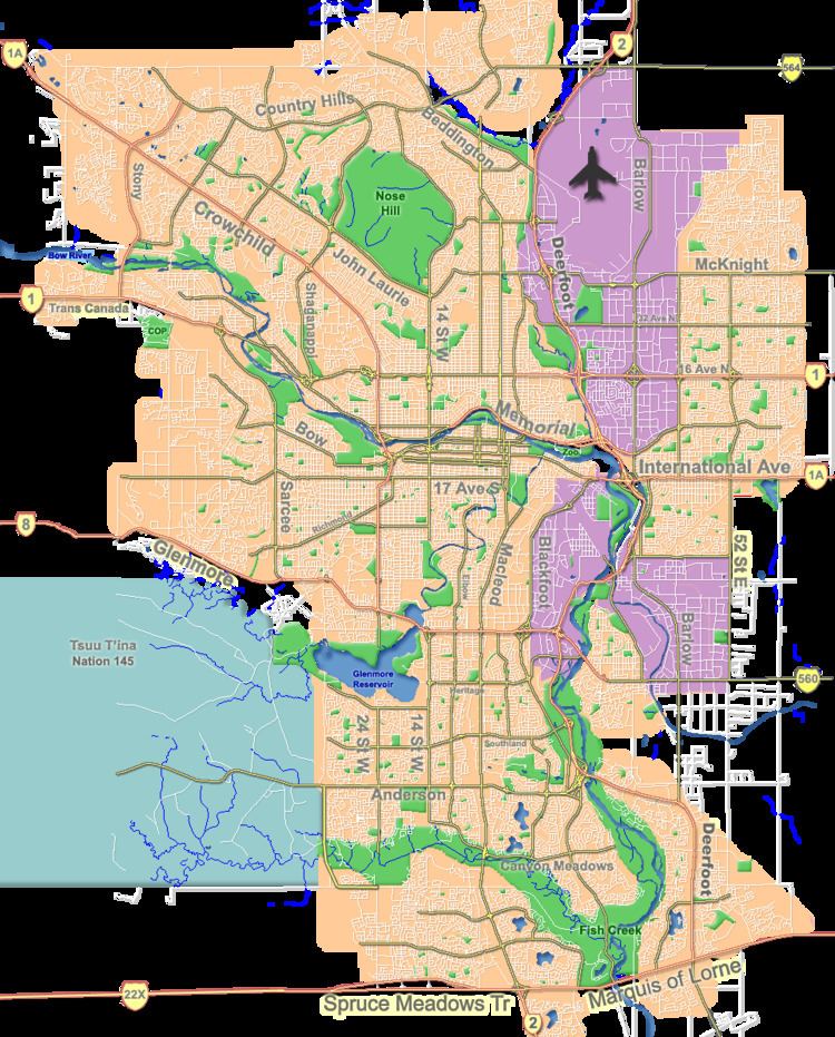
Map of Richmond, Calgary, AB, Canada
It is located on both sides of the Crowchild Trail, south of 17th Avenue SW. It was the location of Alberta Children's Hospital until 2007, when the new facility was opened in the north-west quadrant. The community has an area redevelopment plan in place.
Richmond was established in 1950. It is represented in the Calgary City Council by the Ward 8 councillor, on a provincial level by Calgary-Currie MLA Brian Malkinson, and is currently represented at the federal level by Calgary Centre MP Kent Hehr.
Demographics
In the City of Calgary's 2012 municipal census, Richmond had a population of 7003422900000000000♠4,229 living in 7003225900000000000♠2,259 dwellings, a 2.8% increase from its 2011 population of 7003411300000000000♠4,113. With a land area of 1.8 km2 (0.69 sq mi), it had a population density of 2,350/km2 (6,090/sq mi) in 2012.
Residents in this community had an median household income of $49,954, and there were 17.6% low income residents living in the neighbourhood. Most buildings are single-family detached home (48.3%).
Education
The community is served by Richmond Elementary and Chinook College for Continuing Education public schools, as well as various private schools.