
Country United States ZIP codes 46926, 46970, 46974 Elevation 228 m Local time Wednesday 8:30 PM | Organized 6 November 1837 GNIS feature ID 0453797 Area 104 km² Population 1,179 (2010) | |
 | ||
Weather 12°C, Wind E at 29 km/h, 56% Humidity | ||
Richland Township is one of fourteen townships in Miami County, Indiana, United States. As of the 2010 census, its population was 1,179 and it contained 480 housing units.
Contents
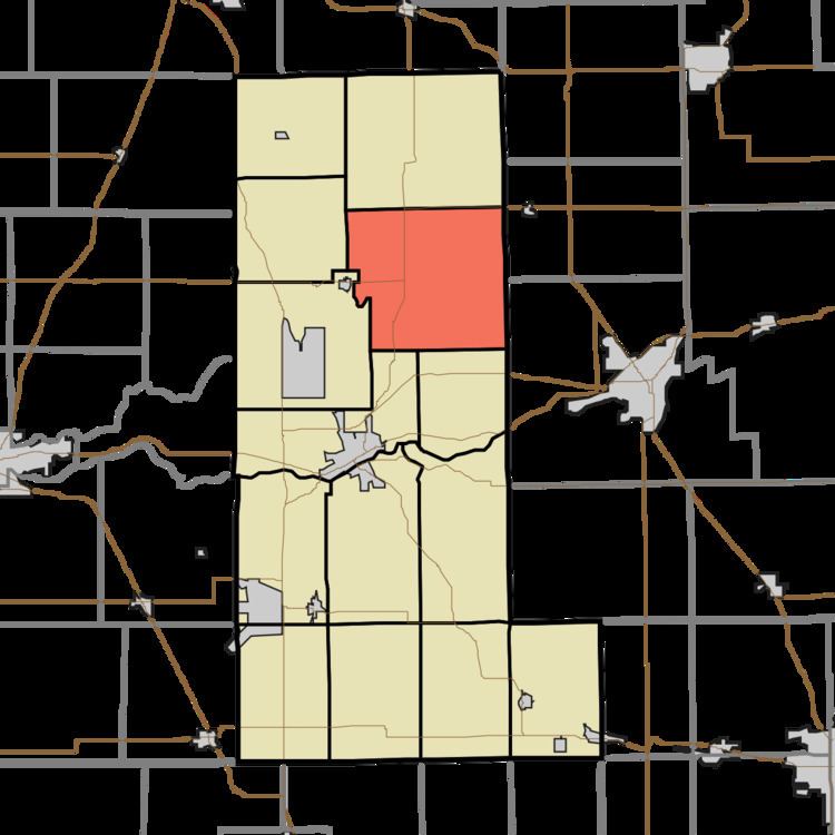
- Map of Richland Township IN USA
- History
- Geography
- Unincorporated towns
- Cemeteries
- Airports and landing strips
- School districts
- Political districts
- References
Map of Richland Township, IN, USA
History
Richland Township was organized in 1837. The township was so named on account of their fertile soil.
The Eikenberry Bridge was listed on the National Register of Historic Places in 2006.
Geography
According to the 2010 census, the township has a total area of 40.16 square miles (104.0 km2), of which 39.65 square miles (102.7 km2) (or 98.73%) is land and 0.5 square miles (1.3 km2) (or 1.25%) is water.
Unincorporated towns
Cemeteries
The township contains these four cemeteries: Finley, Macedonia, Musselman and Yike.
Airports and landing strips
School districts
Political districts
References
Richland Township, Miami County, Indiana Wikipedia(Text) CC BY-SA