
Website County Website Area 94.11 km² Population 360 (2000) | GNIS feature ID 0473711 Elevation 430 m Local time Wednesday 7:25 PM | |
 | ||
Weather 9°C, Wind N at 16 km/h, 100% Humidity | ||
Richland Township is a township in Harvey County, Kansas, USA. As of the 2000 census, its population was 360.
Contents
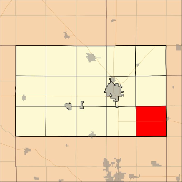
Map of Richland, KS, USA
Geography
Richland Township covers an area of 36.34 square miles (94.1 km2) and contains the ghost town of Annelly and the southeast corner of the unincorporated community of McLain. According to the USGS, it contains one cemetery, Whitewater. The streams of East Branch Whitewater Creek, West Branch Whitewater Creek and West Wildcat Creek run through this township.
References
Richland Township, Harvey County, Kansas Wikipedia(Text) CC BY-SA