
Country United States GNIS feature ID 0468604 Area 94.89 km² Population 219 (2010) | Time zone CST (UTC-6) Elevation 365 m Local time Wednesday 7:24 PM | |
 | ||
ZIP codes 50441, 50452, 50475, 50479 Weather 4°C, Wind NE at 37 km/h, 98% Humidity | ||
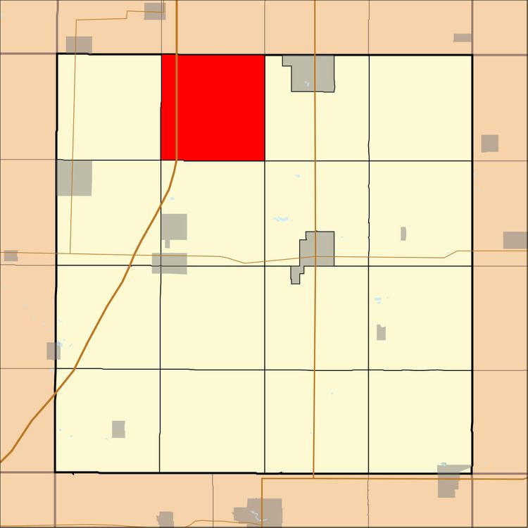
Richland Township is one of sixteen townships in Franklin County, Iowa, United States. As of the 2010 census, its population was 219 and it contained 99 housing units.
Contents
- Map of Richland IA USA
- History
- Geography
- Cemeteries
- Transportation
- School districts
- Political districts
- References
Map of Richland, IA, USA
History
Richland Township was organized in 1872.
Geography
As of the 2010 census, Richland Township covered an area of 36.64 square miles (94.9 km2), all land.
Cemeteries
The township contains Old Chapin Cemetery, Shobes Grove Cemetery and Zion Reformed Cemetery.
Transportation
School districts
Political districts
References
Richland Township, Franklin County, Iowa Wikipedia(Text) CC BY-SA