
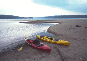
Max depth 33 m Surface elevation 441 m Inflow source Mooselookmeguntic Lake | Area 31.37 km² Outflow location Rapid River | |
 | ||
Richardson Lakes (66°45′S 50°38′E) is a small group of meltwater lakes at the foot of Mount Riiser-Larsen on the northwest side, close east of Amundsen Bay. Photographed in 1956 by ANARE (Australian National Antarctic Research Expeditions) aircraft and first visited in November 1958 by an ANARE party led by G.A. Knuckey. Named for Sgt. A.K. Richardson, RAAF, a member of the 1958 RAAF Antarctic Flight at Mawson Station.
Map of Upper Richardson Lake, Maine, USA
This article incorporates public domain material from the United States Geological Survey document "Richardson Lakes" (content from the Geographic Names Information System).
References
Richardson Lakes Wikipedia(Text) CC BY-SA