
Time zone CST (UTC-6) Elevation 209 m Local time Wednesday 2:01 PM | Established February 22, 1859 ZIP codes 61036, 61041 Area 76.9 km² Population 338 (2010) | |
 | ||
Weather 8°C, Wind E at 27 km/h, 72% Humidity | ||
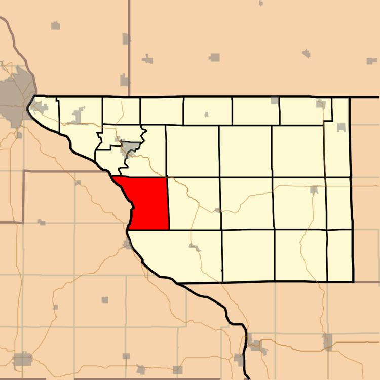
Rice Township is one of twenty-three townships in Jo Daviess County, Illinois, USA. As of the 2010 census, its population was 338 and it contained 268 housing units. It was formed as Washington Township from East Galena Township on February 22, 1859; its name changed to Rice Township on June 16, 1859.
Contents
- Map of Rice Township IL USA
- Geography
- Adjacent townships
- Cemeteries
- Airports and landing strips
- Lakes
- School districts
- Political districts
- References
Map of Rice Township, IL, USA
Geography
According to the 2010 census, the township has a total area of 29.7 square miles (77 km2), of which 24.4 square miles (63 km2) (or 82.15%) is land and 5.3 square miles (14 km2) (or 17.85%) is water.
Adjacent townships
Cemeteries
The township contains Prospect Hill Methodist Episcopalian Cemetery.
Airports and landing strips
Lakes
School districts
Political districts
References
Rice Township, Jo Daviess County, Illinois Wikipedia(Text) CC BY-SA