Supriya Ghosh (Editor)

Ricaurte, Cundinamarca

Updated on
Edit
Like
Comment
Share on FacebookTweet on TwitterShare on LinkedInShare on Reddit
Country
  
Colombia

Elevation
  
284 m (932 ft)

Department
  
Cundinamarca

Local time
  
Wednesday 1:25 PM

Ricaurte, Cundinamarca httpsmw2googlecommwpanoramiophotosmedium

Time zone
  
Colombia Standard Time (UTC-5)

Weather
  
29°C, Wind SE at 10 km/h, 59% Humidity

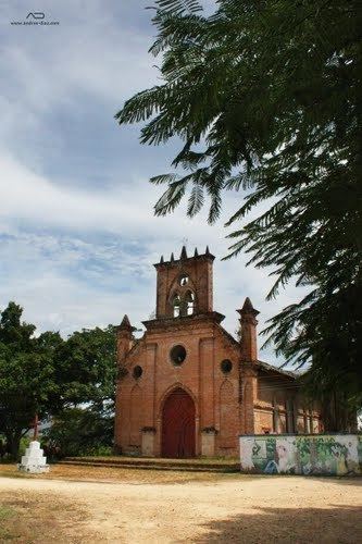
Ricaurte is a municipality and town of Colombia in the department of Cundinamarca. A law issued on 14 November 1857 created the Peñalisa District and December of the same year the name was changed to Ricaurte; in 1937 it was annexed to the Girardot municipality but it recovered its condition of municipality in 1968.

Contents

Map of Ricaurte, Cundinamarca, Colombia

Another Facts

  • Market Day: Thursday and Sunday
  • Distance from Bogotá: 142 km
  • Foundation: 1813 like Peñalisa
  • Created: Departamental Decree No. 409 of 11 March 1968
  • Median temperature: 27 °C
  • Demonym:
  • Dane Code:
  • Veredas

    The Municipality of Ricaurte have 16 Veredas, 17 within the Urban Zone. The Veredas are:

  • Callejón, Casablanca, Cumaca, El Paso, El Portal, La Carrera, La Tetilla, La Virginia, Las Veras, Llano del Pozo, Limoncito, Manuel Norte, Manuel Sur, Pto Peñalisa, San Francisco, San Martin and Zona Urbana
  • References

    Ricaurte, Cundinamarca Wikipedia