Canton Domart-en-Ponthieu Local time Wednesday 6:21 PM | Area 5.42 km² | |
 | ||
Intercommunality Val de Nièvre et environs Weather 17°C, Wind SW at 10 km/h, 62% Humidity | ||
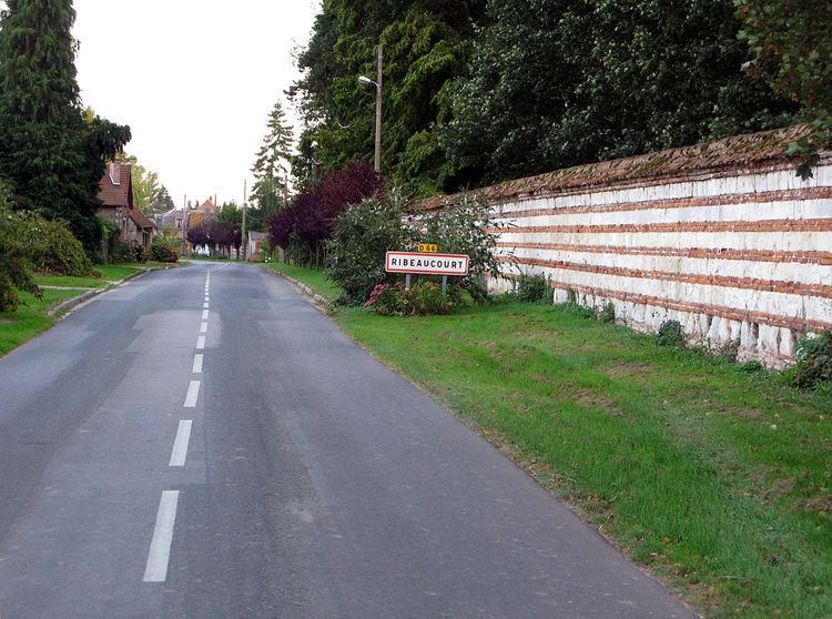
Ribeaucourt is a commune in the Somme department in Hauts-de-France in northern France.
Contents
Map of 80620 Ribeaucourt, France
Geography
Ribeaucourt is situated 15 miles (24 km) east of Abbeville, on the D185 and D66 crossroads.
History
The name of the commune is a corruption of Erembauldocurtis (which comes from "Eremboldus" = (skilful or bold leader) and "curtis", meaning a fortified house). Eremboldus was the name of several male members of the Ribeaucourt family, vassals to the abbey of Saint Riquier. The other communes in France bearing the same name have the same origins.
During the Second World War, Ribeaucourt forest was the site of launching ramps for the German V1 rockets. The Germans also occupied the château. Allied bombardments on the 5 and 7 July 1944 caused serious damage to the village and the forest.
