
Canton Les Aix-d'Angillon Area 32.41 km² Population 1,017 (1999) | Intercommunality Terroirs d’Angillon Local time Wednesday 5:42 PM | |
 | ||
Weather 21°C, Wind SE at 6 km/h, 39% Humidity | ||
Rians is a commune in the Cher department in the Centre region of France.
Contents
Map of 18220 Rians, France
Geography
An area of farming and some associated light industry comprising the village and two hamlets situated on the banks of the small river Quatier, about 12 miles (19 km) northeast of Bourges, at the junction of the D12, D24 and the D154 roads. An unusual kind of fresh (unpasteurised) cheese, Faisselle Rians, is produced here.
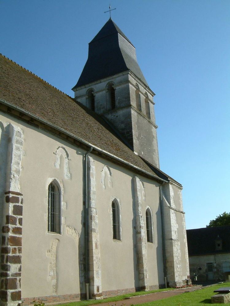
Sights
References
Rians, Cher Wikipedia(Text) CC BY-SA