
 | ||
The statistical areas of the United States of America comprise the metropolitan statistical areas (MSAs), the micropolitan statistical areas (μSAs), and the combined statistical areas (CSAs) currently defined by the United States Office of Management and Budget (OMB).
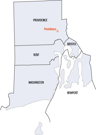
Most recently on December 1, 2009, the Office of Management and Budget defined 1067 statistical areas for the United States, including a combined statistical area and a metropolitan statistical area in the State of Rhode Island and Providence Plantations. Each of the five counties of Rhode Island are included in both these statistical areas. The table below shows the recent population of these statistical areas and their constituent counties.
Table
The table below describes the two United States statistical areas and five counties of the State of Rhode Island and Providence Plantations with the following information:
- The combined statistical area (CSA) as designated by the OMB.
- The CSA population as of April 1, 2010, as enumerated by the 2010 United States Census.
- The core based statistical area (CBSA) as designated by the OMB.
- The CBSA population as of April 1, 2010, as enumerated by the 2010 United States Census.
- The county name.
- The county population as of April 1, 2010, as enumerated by the 2010 United States Census.