
OS grid reference NC257522 Sovereign state United Kingdom Postcode district IV27 4 Council area Highland | Country Scotland Post town Lairg Police Scottish Lieutenancy area Highland | |
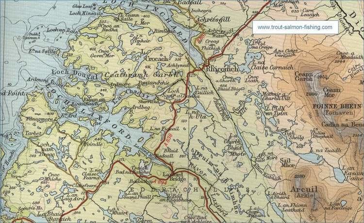 | ||
Rhiconich is a remote hamlet, located at the head of Loch Inchard, in Sutherland, Scottish Highlands in the Scottish council area of Highland. Rhiconich is situated 3 miles (4.8 km) north-east of Laxford Bridge and 11 miles (18 km) south-west of Durness on the A838 road. The B801 at Richonich links the village of Kinlochbervie and associated crofting townships such as Oldshoremore to the A838.
Map of Rhiconich, Lairg, UK
References
Rhiconich Wikipedia(Text) CC BY-SA