
Time zone CST (UTC-6) Elevation 339 m Population 480 (2000) | Established 1880-90 GNIS feature ID 69801 Local time Wednesday 12:20 AM Area code 479 | |
 | ||
Weather 18°C, Wind SE at 18 km/h, 74% Humidity Area 42.48 km² (41.96 km² Land / 52 ha Water) | ||
Rhea's Mill Township is one of thirty-seven townships in Washington County, Arkansas, USA. As of the 2000 census, its total population was 480.
Contents
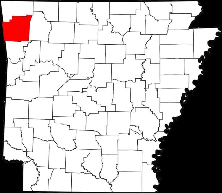
Map of Rheas Mill Township, AR, USA
Geography
According to the United States Census Bureau, Rhea's Mill Township covers an area of 16.4 square miles (42 km2), with 16.2 square miles (42 km2) of land and 0.2 square miles (0.52 km2) of water.
Cities, towns, villages
Cemeteries
The township contains Crawford Cemetery.
Major routes
The township contains no state highways.
References
Rhea's Mill Township, Washington County, Arkansas Wikipedia(Text) CC BY-SA