
Country United States FIPS code 13-64792 Elevation 336 m Population 65 (2013) | Time zone Eastern (EST) (UTC-5) GNIS feature ID 0332834 Area 100 ha Local time Tuesday 7:45 AM | |
 | ||
Weather 15°C, Wind SW at 5 km/h, 99% Humidity | ||
Rest Haven is a town primarily in northern Gwinnett and partly in southern Hall counties in the U.S. state of Georgia. As of the 2010 census, it had a total population of 62.
Contents
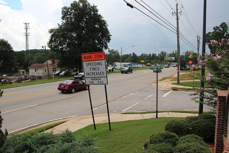
Map of Rest Haven, GA 30518, USA
The Gwinnett County portion of Rest Haven is part of the Atlanta–Sandy Springs–Marietta, GA-AL Metropolitan Statistical Area, while the Hall County portion is part of the Gainesville, GA Metropolitan Statistical Area.
History
The town was given a municipal charter in 1938, and is located along Georgia State Route 13, a highway from Atlanta to Gainesville that is immediately west of Interstate 985. [1]
It was announced on September 19, 2005 that the town leaders wished to be annexed into Buford, a much larger city which surrounds Rest Haven except on the north. A previous attempt to do so in 2001 ended in a lawsuit and a judge ordered Rest Haven to remain a city. Some property owners have already de-annexed from the town and annexed into Buford. [2] ([3])
State law prohibits annexation of one city into another, so the town would first have to vote in a referendum to dissolve. It would then go through the annexation process, requiring approval of the Buford city council and a second referendum of the former Rest Haven residents. As of 2014, Rest Haven still existed. [4]
Geography
Rest Haven is centered at 34°7′57″N 83°58′32″W (34.132396, −83.975455).
According to the United States Census Bureau, the town has a total area of 0.4 square miles (1.0 km2), all of it land.
Demographics
As of the census of 2000, there were 151 people, 57 households, and 42 families residing in the town. The population density was 145.8/km² (373.5/mi.²). There were 67 housing units at an average density of 64.7/km² (165.7/mi.²). The racial makeup of the town was 90.07% White, 2.65% African American, 0.66% Asian, 3.97% from other races, and 2.65% from two or more races. Hispanic or Latino of any race were 3.97% of the population.
There were 57 households out of which 28.1% had children under the age of 18 living with them, 63.2% were married couples living together, 8.8% had a female householder with no husband present, and 24.6% were non-families. 22.8% of all households were made up of individuals and 14.0% had someone living alone who was 65 years of age or older. The average household size was 2.65 and the average family size was 3.07.
In the town, the population was spread out with 25.2% under the age of 18, 11.3% from 18 to 24, 24.5% from 25 to 44, 24.5% from 45 to 64, and 14.6% who were 65 years of age or older. The median age was 35 years. For every 100 females there were 101.3 males. For every 100 females age 18 and over, there were 85.2 males.
The median income for a household in the town was $50,156, and the median income for a family was $51,250. Males had a median income of $31,875 versus $25,781 for females. The per capita income for the town was $15,275. There were 11.8% of families and 12.9% of the population living below the poverty line, including 13.5% of under eighteens and 14.3% of those over 64.