
Country United States Elevation 189 m Local time Tuesday 4:23 AM | GNIS feature ID 0453787 Area 65.89 km² Population 1,423 (2010) | |
 | ||
ZIP codes 47832, 47862, 47872, 47952 Weather 10°C, Wind N at 16 km/h, 92% Humidity | ||
Reserve Township is one of thirteen townships in Parke County, Indiana, United States. As of the 2010 census, its population was 1,423 and it contained 675 housing units.
Contents
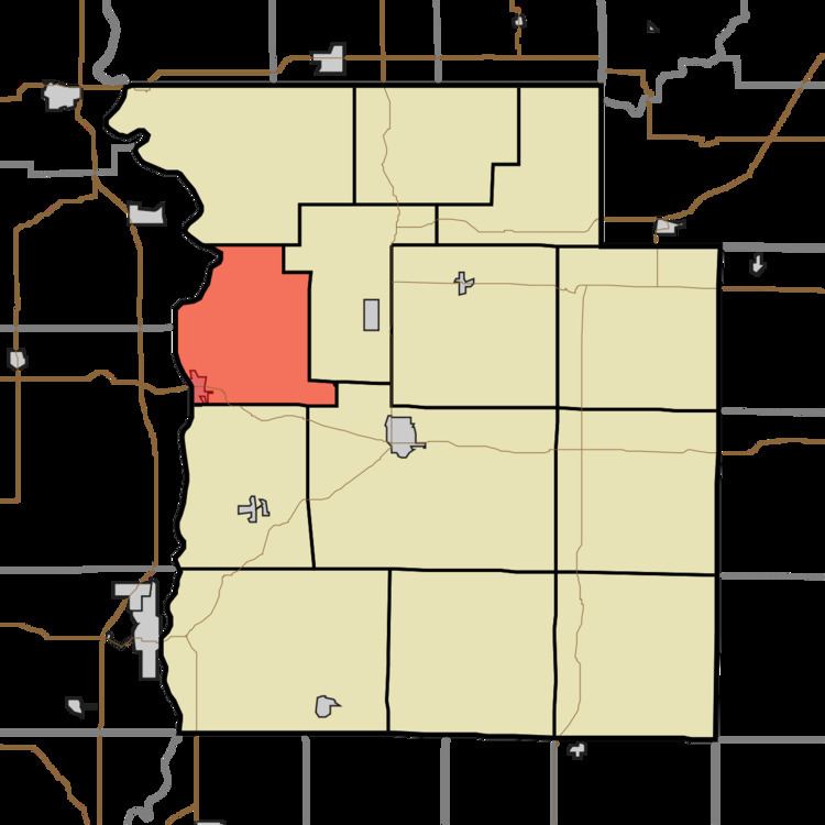
- Map of Reserve Township IN USA
- History
- Geography
- Cities towns villages
- Unincorporated towns
- Extinct towns
- Cemeteries
- Major highways
- School districts
- Political districts
- References
Map of Reserve Township, IN, USA
History
Reserve Township was so named on account of its territory once being part of an Indian reservation.
The Melcher Covered Bridge was listed on the National Register of Historic Places in 1978.
Geography
According to the 2010 census, the township has a total area of 25.44 square miles (65.9 km2), of which 25.1 square miles (65 km2) (or 98.66%) is land and 0.33 square miles (0.85 km2) (or 1.30%) is water.
Cities, towns, villages
Unincorporated towns
(This list is based on USGS data and may include former settlements.)
Extinct towns
(These towns are listed as "historical" by the USGS.)
Cemeteries
The township contains these three cemeteries: Causey, Oakland and Warner.