
 | ||
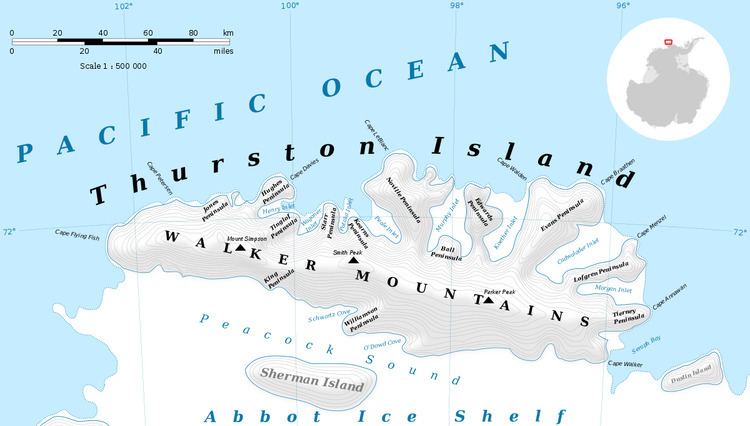
Rescue Point (71°54′S 99°9′W) is an ice-covered point forming the west extremity of Noville Peninsula on Thurston Island. So named in remembrance of the Mariner seaplane crash on the peninsula during U.S. Navy Operation Highjump, and that six survivors were rescued near this point, January 12, 1947 (Ball Peninsula, Mount Howell, q.v.).
Maps
This article incorporates public domain material from the United States Geological Survey document "Rescue Point" (content from the Geographic Names Information System).
References
Rescue Point Wikipedia(Text) CC BY-SA