Country India Region Purvanchal Talukas Muhammadabad Area 227.1 km² | State Uttar Pradesh District Ghazipur Time zone IST (UTC+5:30) Area code 05497 | |
 | ||
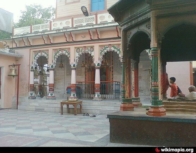
Reotipur is a village located in the Ghazipur district of Uttar Pradesh, India. Its neighboring towns include Bhadaura (9.6 km), Mohammadabad (9.9 km) and Bhanwarkol (13.8 km).
Map of Reotipur, Uttar Pradesh 232328
This village is very old, believed to be established somewhere around 14th century. The town was listed under Ambedkar gram yojna by the former Chief Minister of Uttar Pradesh Mayawati, and hence was granted special privileges for its development program. Extensive construction and maintenance work was undertaken with the revamp of old roads with concrete ones and construction of many new routes. It is well linked to other parts of district by means of public and private Bus,Jeep transport. The nearest railway stations are Dildarnagar, Bhadaura and Buxar (28 km).
The closest airport is Varanasi Airport located 53.9 mi (or 86.7 km) east of the centre of Reotipur.
