
Province Taiwan Province | ||
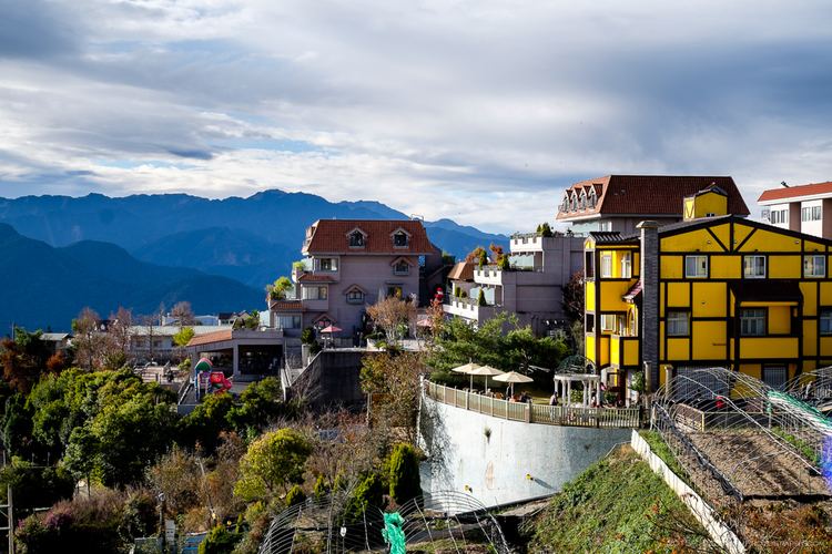 | ||
Ren'ai Township (Chinese: 仁愛鄉; pinyin: Rén'ài Xiāng; Wade–Giles: Jen2-ai4 Hsiang1) is a mountain indigenous township in Nantou County, Taiwan. It has a population total of 15,850 and an area of 1,273.5312 km2, making it the second largest township in the county after Xinyi Township. The major populations are aborigines of the Seediq, Atayal and Bunun peoples.
Contents
- Map of RenE28099ai Township Nantou County Taiwan 546
- History
- Administrative divisions
- Tourist attractions
- References
Map of Ren%E2%80%99ai Township, Nantou County, Taiwan 546
History
Ren'ai was hit by the 2013 Nantou earthquake on 27 March 2013.
Administrative divisions
Tourist attractions
References
Ren'ai, Nantou Wikipedia(Text) CC BY-SA