
Width 1.5 km (0.93 mi) Highest elevation 220 m (720 ft) Elevation 220 m Municipality Flora | Length 5.8 km (3.6 mi) Coastline 24 km (14.9 mi) Highest point Harefjellet Area 5.6 km² | |
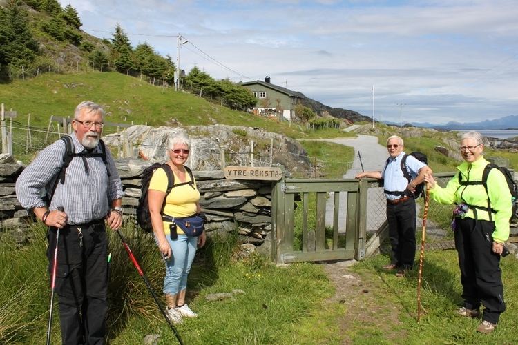 | ||
Reksta is an island in the municipality of Flora in Sogn og Fjordane country, Norway. The 5.8-square-kilometre (2.2 sq mi) island lies about 7 kilometres (4.3 mi) west of the town of Florø in a large group of inhabited islands. Reksta sits about 600 metres (2,000 ft) east of the island of Kinn, about 5 kilometres (3.1 mi) north of the island of Askrova, and about 1.4 kilometres (0.87 mi) south of the island of Skorpa. Most of the inhabitants on Reksta live on the west side in and around the small fishing village of Rognaldsvåg. The population of the island (2001) is 144.
Map of Reksta, 6915 Rognaldsv%C3%A5g, Norway
References
Reksta Wikipedia(Text) CC BY-SA