
Department Bas-Rhin Time zone CET (UTC+1) Area 19.21 km² Population 933 (1999) | Canton Ingwiller INSEE/Postal code 67392 /67340 Local time Monday 10:20 AM | |
 | ||
Weather 9°C, Wind E at 16 km/h, 47% Humidity | ||
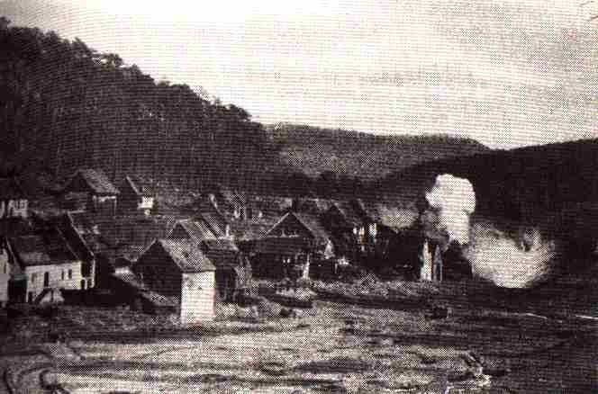
Reipertswiller (German: Reipertsweiler) is a commune in the Bas-Rhin department in Grand Est in north-eastern France.
Map of 67340 Reipertswiller, France
In 1999 Reipertswiller had 961 inhabitants. It is bordered on the North by Mouterhouse, on the Northeast by Baerenthal, on the Southeast by Lichtenberg, on the Southwest by Wimmenau and in the Northwest by Goetzenbruck.
The commune is part of the Parc naturel régional des Vosges du Nord
References
Reipertswiller Wikipedia(Text) CC BY-SA