
Elevation 134 m (440 ft) Area 42.79 km² Local time Monday 7:38 AM Dialling code 035828 | Municipal assoc. Reichenbach Time zone CET/CEST (UTC+1/+2) Population 4,151 (31 Dec 2008) Postal code 02894 | |
 | ||
Weather -1°C, Wind S at 6 km/h, 86% Humidity | ||
Reichenbach/O.L. (full German name: Reichenbach/Oberlausitz, Sorbian: Rychbach) is a town in the Görlitz district, in eastern Saxony, Germany. It is located 13 km west of Görlitz.
Contents
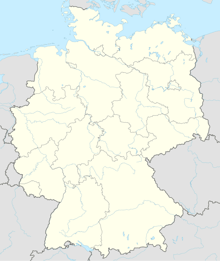
Map of Reichenbach, Germany
History
Within the German Empire (1871-1918), Reichenbach was part of the Prussian Province of Silesia. Schloss Krobnitz, an estate which belonged to Prussian Minister of War Albrecht von Roon, lies in Reichenbach.
Broadcasting station
There was a radio broadcasting station at the northern edge of Reichenbach since 1937. Originally built as a free-standing wooden tower, it was replaced after World War II with a steel construction, which was renewed in 1999. The Reichenbach transmitter broadcast the regional station MDR Info at 1188 kHz with an output of 3 kilowatts. The transmitter was taken out of operation in May 2013, and subsequently demolished.