
Time zone CST (UTC-6) Elevation 543 m Local time Sunday 12:52 PM Area code 479 | Established 1880 GNIS feature ID 69800 Area 102 km² Population 410 (2000) | |
 | ||
Weather 16°C, Wind S at 10 km/h, 57% Humidity | ||
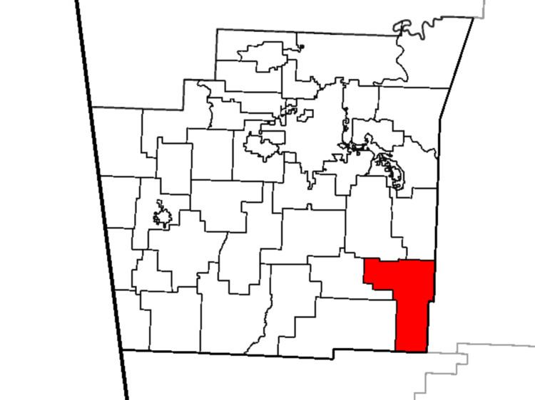
Reed Township is one of thirty-seven townships in Washington County, Arkansas, USA. As of the 2000 census, its total population was 410.
Contents
Map of Reed Township, AR, USA
Geography
According to the United States Census Bureau, Reed Township covers an area of 34.9 square miles (90 km2), all land.
The township was created from White River Township in 1880.
Cities, towns, villages
Cemeteries
The township contains Temple Hill Cemetery and Terry Cemetery.
Major routes
The township contains no state highways.
References
Reed Township, Washington County, Arkansas Wikipedia(Text) CC BY-SA