
Area 15.09 km² | Arrondissement Redon Intercommunality Pays de Redon Local time Sunday 5:54 PM | |
 | ||
Weather 17°C, Wind E at 18 km/h, 54% Humidity | ||
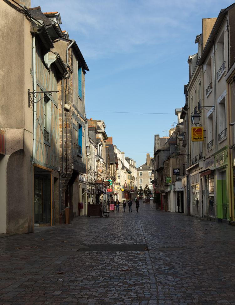
Redon ([ʁə.dɔ̃]; [ˈreːdõn]) is a commune in the Ille-et-Vilaine department in Brittany in northwestern France. It is a sub-prefecture of the department.
Contents
- Map of 35600 Redon France
- Geography
- History
- Population
- Breton language
- Economy
- Cultural life
- Twin towns Sister cities
- References
Map of 35600 Redon, France
Geography
Redon borders the Morbihan and Loire-Atlantique departments.
It is situated at the junction of the Oust and Vilaine rivers, which makes it well known for its autumn and winter floods.
History
Very little information exists about this area before 832, however it would seem that there was a parish by the name of Riedones which gave the town its name. In 832, Conwoion, a Breton monk with the help of the Carolingian Emperor Louis le Pieux founded the abbey of Saint-Sauveur de Redon. Today, documents relating to the life of the abbey still exist.
The town developed around the abbey until a small rural community of 6,000 inhabitants was formed in the 1960s.
In the Middle Ages, Redon benefited from maritime commerce due to its location on the Vilaine.
Population
Inhabitants of Redon are called Redonnais / Redonnaises in French.
Breton language
The municipality launched a linguistic plan through Ya d'ar brezhoneg on 10 October 2008.
In 2008, 14.31% of primary-school children attended bilingual schools.
Economy
Cultural life
Twin towns – Sister cities
Redon is twinned with: