Population 309 (2006 census) Postcode(s) 6327 Elevation 94 m Local time Sunday 11:43 PM | Established 1916 Postal code 6327 | |
 | ||
Location 399 km (248 mi) South South East of Perth26 km (16 mi) North West of Albany Weather 12°C, Wind W at 8 km/h, 79% Humidity | ||
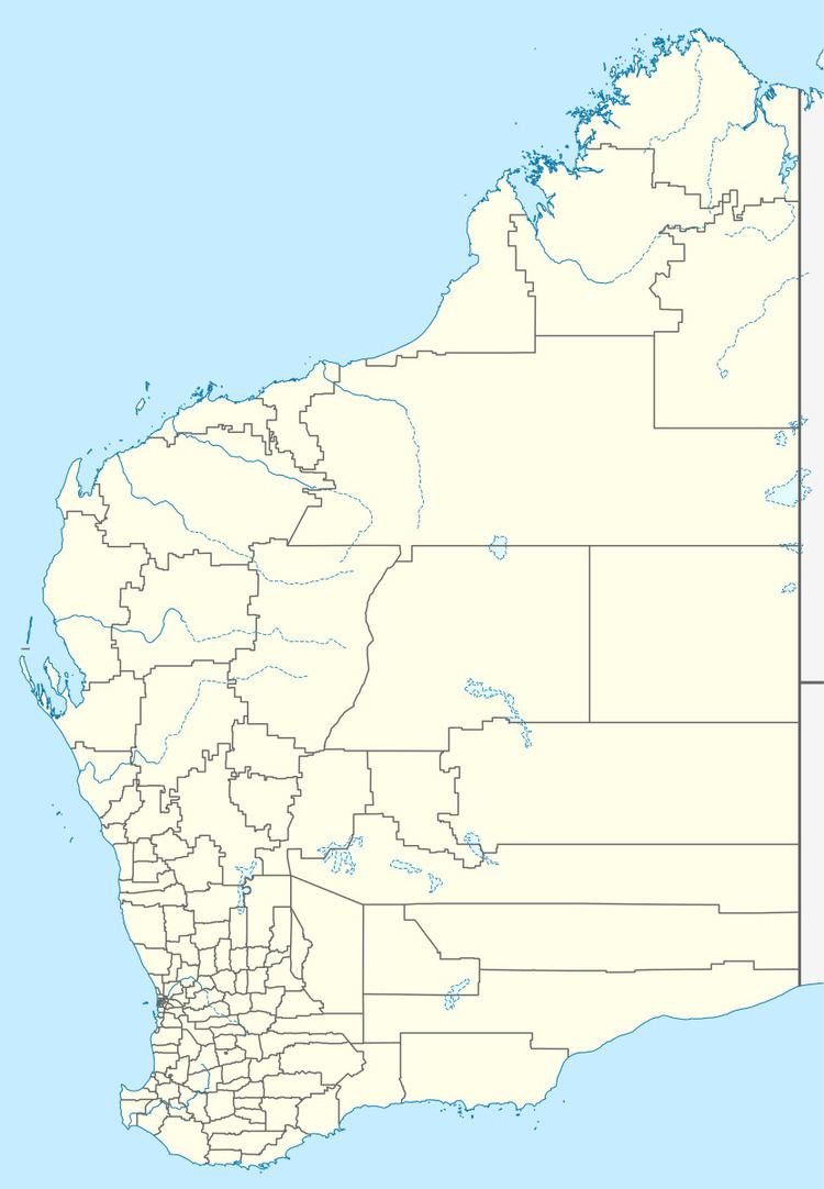
Redmond is a town in the Great Southern region of Western Australia. It is located 399 km South South East of Perth and the closest populated town is Albany.
Map of Redmond WA 6327, Australia
The town began when a railway siding was opened in the area in 1912 which was initially called Mulikupp. The townsite was later renamed in Redmond. In 1913 blocks were subdivided and by 1916 a school had been built and the town was gazetted. It is thought that the town was named after the Irish Nationalist leader, John Edward Redmond.
References
Redmond, Western Australia Wikipedia(Text) CC BY-SA
