
Surface elevation 352 m | Basin countries United Kingdom | |
 | ||
Surface area 23 and 19 and 12 hectares (57 and 47 and 30 acres) (Upper, Middle, Lower) Max. depth 15 and 14 and 14 m (49 and 46 and 46 ft) (Upper, Middle, Lower) Similar Wyming Brook, Stanedge Pole, Stanage Edge, River Rivelin, Agden Reservoir | ||
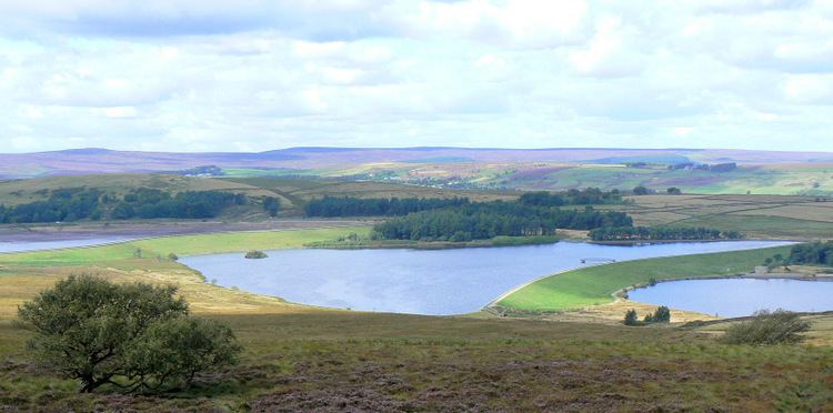
The Redmires Reservoirs are a group of three reservoirs in Fulwood, Sheffield, South Yorkshire, England. They are fed from the Hallam Moors by various small streams including Fairthorn Clough. The three reservoirs are named Upper, Middle and Lower and date from 1836 and were built to provide clean drinking water via a water course down to Barker's Pool 5½ miles away following the devastating Sheffield cholera epidemic of 1832.
Map of Redmires Reservoirs, Sheffield, UK
The area is popular with walkers and bird watchers. A path from the Upper reservoir leads onto the moors and to Stanedge Pole.
References
Redmires Reservoirs Wikipedia(Text) CC BY-SA