
Population 8,645 (2011 census) | Postcode(s) 4870 Postal code 4870 | |
 | ||
Location 11.5 km (7 mi) NW of Cairns CBD | ||
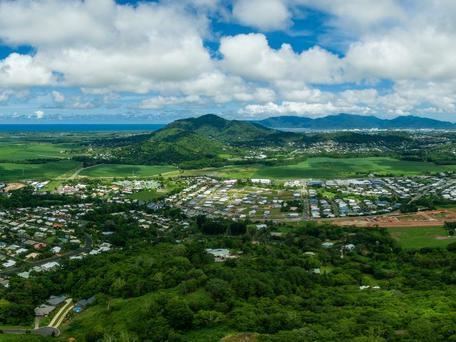
Redlynch is a town and suburb of Cairns in the Cairns Region, Queensland, Australia. In the 2011 census, Redlynch had a population of 8,645 people.
Contents
Map of Redlynch QLD 4870, Australia
Geography
Redlynch lies along the valley created by Freshwater Creek with the Redlynch Intake Road being the major artery running from north to south roughly parallel and west of the creek.
The residential development occurs along the lower slopes of the valley (mostly 10-50 metres above sea level) while the eastern and western sides of the suburb are undeveloped bushland on steep slopes rising to 500-600 metres which form part of the Barron Gorge National Park. The Kuranda Scenic Railway winds its way up the north-eastern slopes of Redlynch with two stations in the suburb, Redlynch and Jungara.
History
Redlynch is named after Redlynch, Somerset in England.
Heritage listings
Redlynch has the following heritage listings: