
Population 14,976 (2011) | Postcode(s) 4301 Postal code 4301 | |
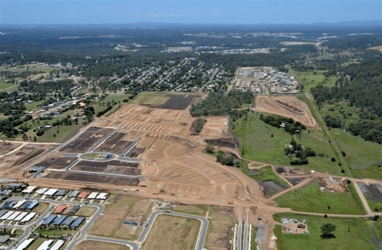 | ||
Redbank Plains is a suburb approximately 30 kilometres (19 mi) from the Brisbane CBD. Located on the outskirts of the Brisbane Statistical Division, its Local Government Area is the City of Ipswich. At the 2011 the suburb recorded a population of 14,976. Redbank Plains is not to be confused with the neighbouring suburb Redbank.
Contents
- Map of Redbank Plains QLD 4301 Australia
- Community services and infrastructure
- Weather radar
- References
Map of Redbank Plains QLD 4301, Australia
Community services and infrastructure
The Redbank Plains Library is located in Moreton Avenue. The Redbank Plains State High School is located on the corner of Willow and Keidges Roads. Staines Memorial College is located on School Road.
Weather radar
The CP2 weather radar is located at the end of Vic Cumner Drive. This polarmetric radar was established in 2007 and is used to measure rainfall, rain drop sizes and for the detection of hail storms. The data collected by the specialist radar facility that is operated by the Bureau of Meteorology and the National Centre for Atmospheric Research is used in a range of research projects by The Centre for Australian Weather and Climate Research. Unlike the nearby radars at Mount Stapylton and Marburg, the radar does not provide a streaming media loop to the public.