
Country United States ZIP code 86544 Elevation 1,767 m Population 169 (2010) | Time zone Mountain (MST) (UTC-7) Area code(s) 928 Area 3 km² Local time Sunday 3:32 AM | |
 | ||
Weather 4°C, Wind S at 8 km/h, 86% Humidity | ||
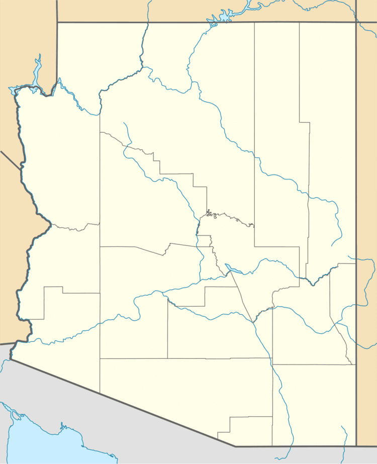
Red Rock (also known as Red Valley) is an unincorporated community and census-designated place (CDP) in Apache County, Arizona, United States. Red Rock is located on the Navajo Nation near the New Mexico border, 16 miles (26 km) northeast of Lukachukai. Red Rock has a post office with ZIP code 86544; the post office uses the Red Valley name. As of the 2010 census, the Red Rock CDP had a population of 169.
Map of Red Valley, AZ 86544, USA
Red Rock is named after a nearby 386-foot-high (118 m) sandstone peak. The area was first noted by white military men in 1892 when Lt. W. C. Brown observed many springs during a water survey. A trading post was established in 1906.
References
Red Rock, Apache County, Arizona Wikipedia(Text) CC BY-SA