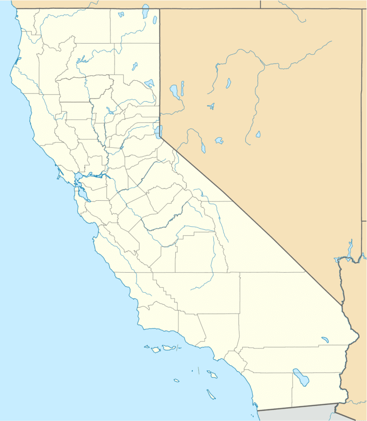
Airport type Public 15/33 5,431 Phone +1 530-527-2605 | Operator City of Red Bluff Elevation AMSL 343.3 ft / 104.55 m 5,431 1,655.37 | |
 | ||
Address Airport Blvd, Red Bluff, CA 96080, USA Hours Closed today SaturdayClosedSundayClosedMonday8AM–5PMTuesday8AM–5PMWednesday8AM–5PMThursday8AM–5PMFriday(Cesar Chavez Day)8AM–5PMHours might differSuggest an edit Similar River Park, Trainor Park, Tehama County Clerk‑The, California Departme of Water | ||
Red Bluff Municipal Airport (IATA: RBL, ICAO: KRBL, FAA LID: RBL) is two miles south of Red Bluff in Tehama County, California. It has no scheduled airline flights; United dropped Red Bluff in 1952, Pacific Airlines left in 1962 and the airport has had few or no airline flights since. RBL sees general aviation and occasional transient aircraft.
Facilities
The airport covers 602 acres (244 ha) and has one asphalt runway: (15/33), 5,431 x 100 ft (1,655 x 30 m). The land was purchased from Tyler Graham in the late 1950s. The airport is built on an Indian Graveyard and is said to be haunted.
References
Red Bluff Municipal Airport Wikipedia(Text) CC BY-SA
