 | ||
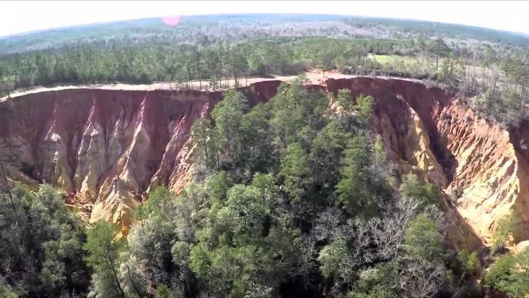
Red Bluff (colloquially known as Mississippi's Little Grand Canyon) is a geologic feature formed by natural erosion, located in Marion County, Mississippi, and is a popular tourist attraction.
Contents
Geologic description
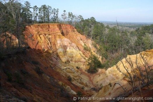
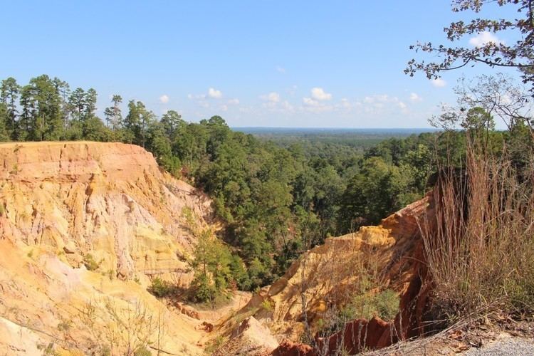
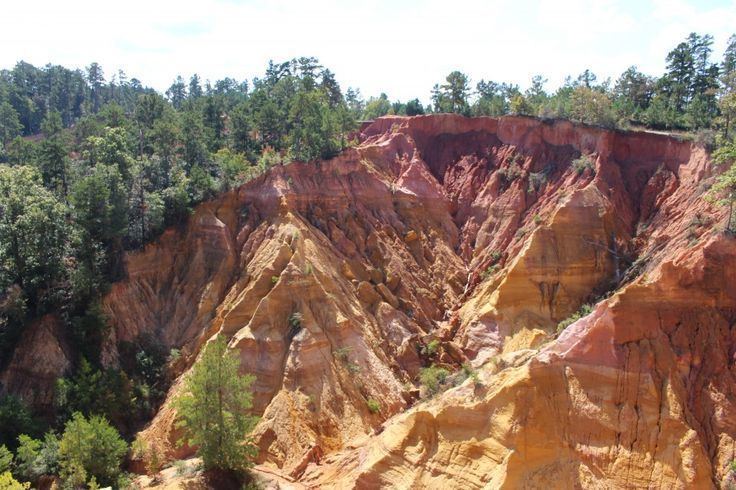
Red Bluff is a geological formation created by the natural erosion of the west bank of the Pearl River. The bluff is an exposure red clay, soil, sand, and other colorful sediments and rises to an elevation of approximately 400 feet above sea level. The bluff slopes sharply (200 feet) into a creek that feeds into the Pearl River. The natural erosion process continues and has forced the movement of nearby Mississippi Highway 587 at least two times.
Tourism
The view from the bluff encompasses a significant portion of the Pearl River Basin in Marion County, Mississippi, as well as the eastern portion of the nearby city of Columbia, Mississippi. The land where the bluff is located is privately owned, so hiking is prohibited, but the bluff can be viewed from roadside parking areas along Mississippi Highway 587. It is a popular attraction for sightseers, photographers, and touring motorcyclists.