
Elevation 296 m Population 90 (2002) | Municipality Trebnje Area 6.31 km² | |
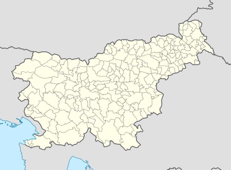 | ||
Rdeči Kal ([əɾˈdeːtʃi ˈkaːu̯]) is a settlement in the hills to the southeast of Dobrnič in the Municipality of Trebnje in eastern Slovenia. It lies below the northern slope of Sharp Peak (Slovene: Ostri vrh, 523 m). The area is part of the historical region of Lower Carniola. The municipality is now included in the Southeast Slovenia Statistical Region.
Map of 8211 Rde%C4%8Di Kal, Slovenia
References
Rdeči Kal, Trebnje Wikipedia(Text) CC BY-SA