
ZIP codes 46151, 46166, 47433 Elevation 230 m Local time Saturday 6:07 AM | Time zone Eastern (EST) (UTC-5) GNIS feature ID 0453783 Area 66.77 km² Population 1,631 (2010) | |
 | ||
Weather 17°C, Wind SE at 11 km/h, 62% Humidity | ||
Ray Township is one of fourteen townships in Morgan County, Indiana, United States. As of the 2010 census, its population was 1,631 and it contained 648 housing units.
Contents
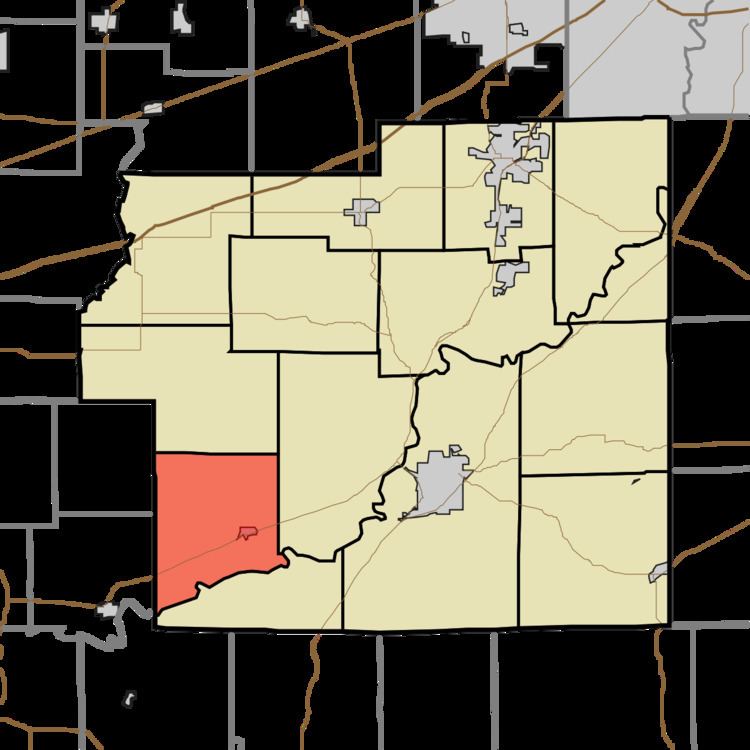
- Map of Ray Township IN USA
- History
- Geography
- Cities towns villages
- Unincorporated towns
- Cemeteries
- Major highways
- School districts
- Political districts
- References
Map of Ray Township, IN, USA
History
The Blankenship-Hodges-Brown House was listed on the National Register of Historic Places in 2005.
Geography
According to the 2010 census, the township has a total area of 25.78 square miles (66.8 km2), of which 25.56 square miles (66.2 km2) (or 99.15%) is land and 0.22 square miles (0.57 km2) (or 0.85%) is water.
Cities, towns, villages
Unincorporated towns
(This list is based on USGS data and may include former settlements.)
Cemeteries
The township contains these three cemeteries: Friendship Park, Goss and Stierwalt.
Major highways
School districts
Political districts
References
Ray Township, Morgan County, Indiana Wikipedia(Text) CC BY-SA