
Elevation 2,570 m (8,430 ft) | State Mexico (state) Population 12,748 (2005) | |
 | ||
Time zone Central Standard Time (UTC-6) | ||
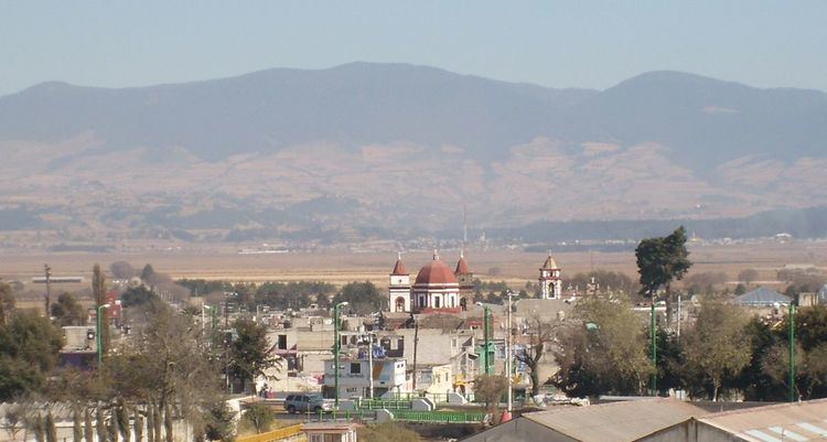
Rayón is the municipality located in Toluca Region, the northeastern part of the state of Mexico in Mexico, the municipal seat is Rayón, formerly named Cuauhtenco. The municipality is located at a southern pass leading out of the Toluca Valley.
Contents
Geography
The total municipality extends 84.37 km2 and borders with the municipalities of Tenango del Valle, Calimaya and Almoloya del Río.
Communication and transport
The Lerma-Tenango Highway, is a main highway that cross by Rayón, connect with Toluca to Tenango del Valle.
Economy
The economy is principally farming, cattle raising and small businesses, concentrating on the production of corn, beans and fruit.
Monuments
References
Rayón, State of Mexico Wikipedia(Text) CC BY-SA