
County Sogn og Fjordane Municipality Vågsøy Municipality Area 57 ha Population 648 (2013) | Elevation 4 m (13 ft) Local time Saturday 6:12 AM | |
 | ||
Weather 6°C, Wind S at 43 km/h, 89% Humidity | ||
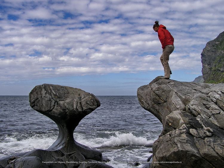
Raudeberg is a village in Vågsøy Municipality in Sogn og Fjordane county, Norway. It is located on the east side of the island of Vågsøy. The villages of Refvika, Vedvika, and Langeneset are located a few kilometers to the north, and the town of Måløy is about 6 kilometres (3.7 mi) to the south. The island of Silda is located about 2 kilometres (1.2 mi) northeast of the village of Raudeberg. Nord-Vågsøy Church is located on the eastern edge of the village, right along the coast.
Map of 6710 Raudeberg, Norway
Raudeberg (historically spelled Rødberg) was the administrative centre of the former municipality of Nord-Vågsøy, which existed from 1910 until 1964. Today, it is the second largest settlement in the municipality, after Måløy. The 0.57-square-kilometre (140-acre) village has a population (2013) of 648, giving the village a population density of 1,137 inhabitants per square kilometre (2,940/sq mi).