
Elevation 118 m (387 ft) Local time Saturday 4:53 AM | Time zone CET (UTC+1) Area code 034 | |
 | ||
Weather 8°C, Wind NE at 3 km/h, 75% Humidity | ||
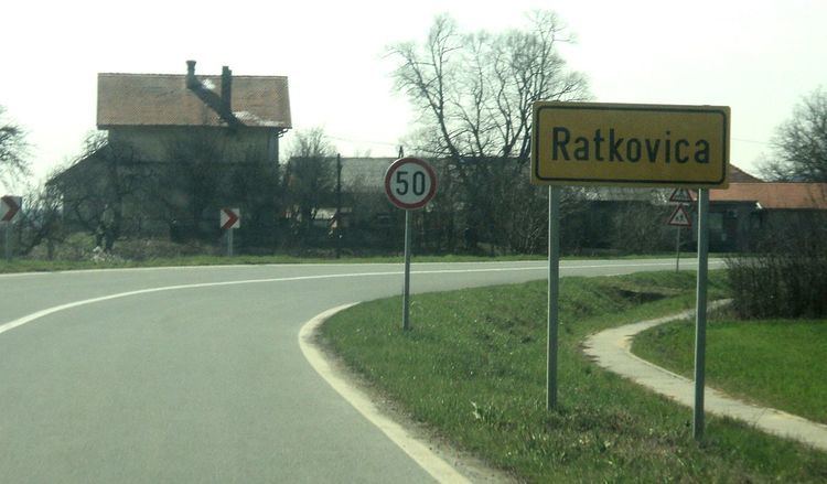
Ratkovica is a village in Požega-Slavonia County, Croatia. The village is administered as a part of the City of Pleternica. According to national census of 2001, population of the village is 272. The village is connected by the D49 state road.
Map of Ratkovica, Croatia
Ratkov Potok, Gradpotok or Ratkovica (today). Village name is first time documents in second part of 13th century in church documents. Initially village was located 250 meters above today's location on the hill called "kuciste", which is located right below St. Michael Church. Multiple countries claimed Ratkovica through history. Started with Croatia, Austro-Hungarian Kingdom (biggest part of history), Turkey (switched possession back and fort with Austro-Hungarian Kingdom), Yugoslavia (20th century) and now in present days Croatia again. Except few old local families most of people moved in Ratkovica from other areas of Balkan: Central Bosnia, Serbia, Podravina, Zagorje etc. Village has elementary school, post office, train station, bus stations and about 100 houses. Most prosperous times in Ratkovica history was mid of 20th century when Ratkovica mine and paint factory was operating in village. Now only few people working in neighboring cities, some in foreign countries and many are on welfare. 21st population boom is caused by last war 1990–1995 and big part of population are refugees from Bosnia.