
Type Multivallate hill fort Founded 1200-900BC Excavation dates 1969 Province Leinster Excavation date 1969 | Area 7.5ha (18 acres) Periods Bronze age Width 15 m Period Bronze Age | |
 | ||
Location County Wicklow, Province of Leinster Address Rath East, Co. Wicklow, Ireland Similar Ballymoon Castle, Ballyloughan Castle, Castleruddery Stone Circle, Brownshill Dolmen, Altamont Gardens | ||
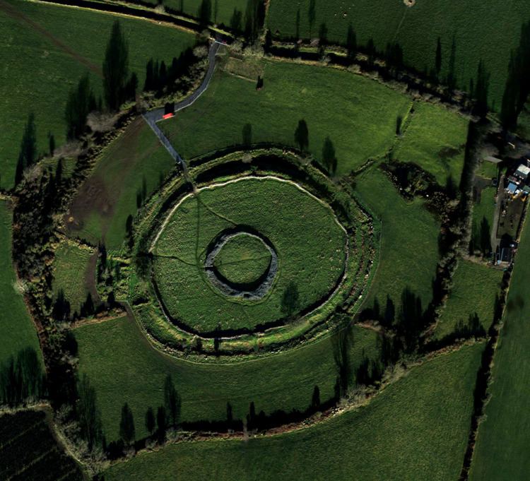
Rathgall hillfort co wicklow
Rathgall, Rath Geal (the white or bright fort), or Ring of the Rath is a large multivallate hill fort near the town of Shillelagh. Dating from the Bronze age, it consists of three roughly concentric stone ramparts with a fourth masonry wall dating from the Medieval period at its centre. Rathgall is a National Monument which is in state care.
Excavations led by Barry Raftery in the 1970s the site are only partial, but yielded numerous artefacts including ceramic vessels, pot sherds and glass beads, which point to the middle to late Bronze age activity on the site. A number of gold items have been found at the site also, as well as a burial site linked with later use of the site. Evidence of metal working comes from casts for tools and weapons, with burials pointing to a ritual element to the site beyond its agricultural and domestic use.
There are numerous legends that are associated with the site including fairies and as a site of pilgrimage for childless couples.