
Irish grid reference N296549 | ||
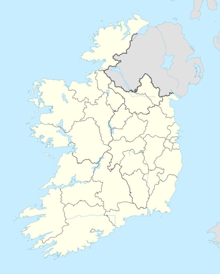 | ||
Rathconrath (Irish: Ráth Conarta) is a civil parish in County Westmeath, Ireland. It is located about 13.93 kilometres (9 mi) west of Mullingar.
Map of Rathconrath, Co. Westmeath, Ireland
Rathconrath is one of 9 civil parishes in the barony of Rathconrath in the Province of Leinster. The civil parish covers 8,713.3 acres (35.261 km2).
Rathconrath civil parish comprises the village of Rathconrath and 34 townlands: Ballard, Ballinlug, Ballyglass, Ballynacarrow, Balrath, Bifurze, Castlegaddery, Cleggarnagh, Corkan, Davidstown, Farthingstown, Irishtown, Jordanstown, Killahugh, Kilpatrick, Lisnacask, Loughan, Luggygalla, Milltown, Modranstown, Paddinstown Lower, Paddinstown Upper, Parcellstown, Pishanagh, Rathcaled, Rathcastle, Rathconrath, Rathduff, Rathtrim, Rowlandstown, Sheean, Simonstown, Skeagh Beg and Skeagh More.
The neighbouring civil parishes are: Kilmacnevan to the north and east, Templeoran to the east, Churchtown and Mullingar to the south–east, Ballymorin and Conry to the south–west and Piercetown to the north–west.