
Country United States Time zone CST (UTC-6) Elevation 222 m Local time Friday 12:56 PM | Established November 8, 1859 GNIS feature ID 0429618 Area 128.6 km² Population 11,273 (2010) | |
 | ||
Weather 25°C, Wind SW at 39 km/h, 50% Humidity | ||
Rantoul Township is a township in Champaign County, Illinois, USA. As of the 2010 census, its population was 11,273 and it contained 4,969 housing units.
Contents
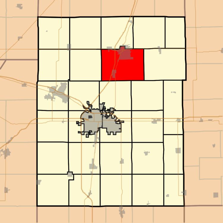
- Map of Rantoul Township IL USA
- Geography
- Cities and towns
- Cemeteries
- Major highways
- Airports and landing strips
- References
Map of Rantoul Township, IL, USA
Geography
According to the 2010 census, the township has a total area of 49.64 square miles (128.6 km2), of which 49.54 square miles (128.3 km2) (or 99.80%) is land and 0.11 square miles (0.28 km2) (or 0.22%) is water.
Cities and towns
Cemeteries
The township contains five cemeteries: Beckman, Eden, Elizabeth, Elmwood and Saint Elizabeth.
Major highways
Airports and landing strips
References
Rantoul Township, Champaign County, Illinois Wikipedia(Text) CC BY-SA