
Population 103 (2006 census) Postal code 2701 | Postcode(s) 2701 Elevation 306 m Local time Saturday 4:21 AM | |
 | ||
Location 468 km (291 mi) SW of Sydney73 km (45 mi) N of Wagga Wagga45 km (28 mi) SW of Temora23 km (14 mi) N of Coolamon Weather 18°C, Wind E at 19 km/h, 74% Humidity | ||
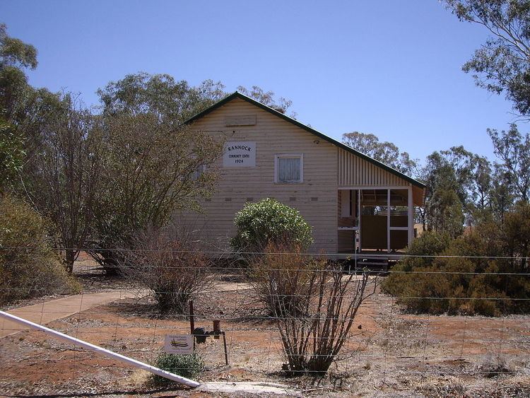
Rannock is a rural community in the central north part of the Riverina. It is situated by road, about 14 kilometres (8.7 mi) east from Methul and 23 kilometres (14 mi) north from Coolamon. At the 2006 census, Rannock had a population of 103 people.
Map of Rannock NSW 2701, Australia
Rannock Post Office opened on 21 December 1908 and closed in 1970.
References
Rannock, New South Wales Wikipedia(Text) CC BY-SA